
Top Destinations
Travelers' Choice


Beyond Expeditions. Beyond Business.
Beyond Imagination.
Top Destinations
Travelers' Choice
Beyond Expeditions. Beyond Business.
Beyond Imagination.
Beyond Expeditions. Beyond Business.
Beyond Imagination.
Beyond Expeditions. Beyond Business.
Beyond Imagination.
Bhutan is a small, landlocked kingdom in the eastern Himalayas. In less than 200 kilometres from south to north, the land climbs from humid foothills barely 100 metres above sea level to glaciated peaks above 7,000 metres. Few places on earth pack so much change into so short a distance.
| Area | 38,394 km² |
| Neighbours | China (the Tibet Autonomous Region) to the north; India to the south, east and west: Sikkim, West Bengal, Assam and Arunachal Pradesh |
| Highest point | Gangkhar Puensum, 7,570 m, widely regarded as the highest unclimbed mountain in the world |
| Lowest areas | About 100 m, along the southern border with India |
| Forest cover | Around 70%. The constitution requires at least 60% to remain forested for all time |
| Protected land | Roughly half the country lies in national parks, wildlife sanctuaries and the biological corridors that connect them |
The high Himalaya. Along the northern border runs a wall of snow peaks, including Jomolhari (7,326 m) above the Paro valley and Gangkhar Puensum in the north-centre. Above the tree line lie alpine meadows, glacial lakes and high pastures where yak herders move with the seasons, around villages such as Laya and Lingzhi.
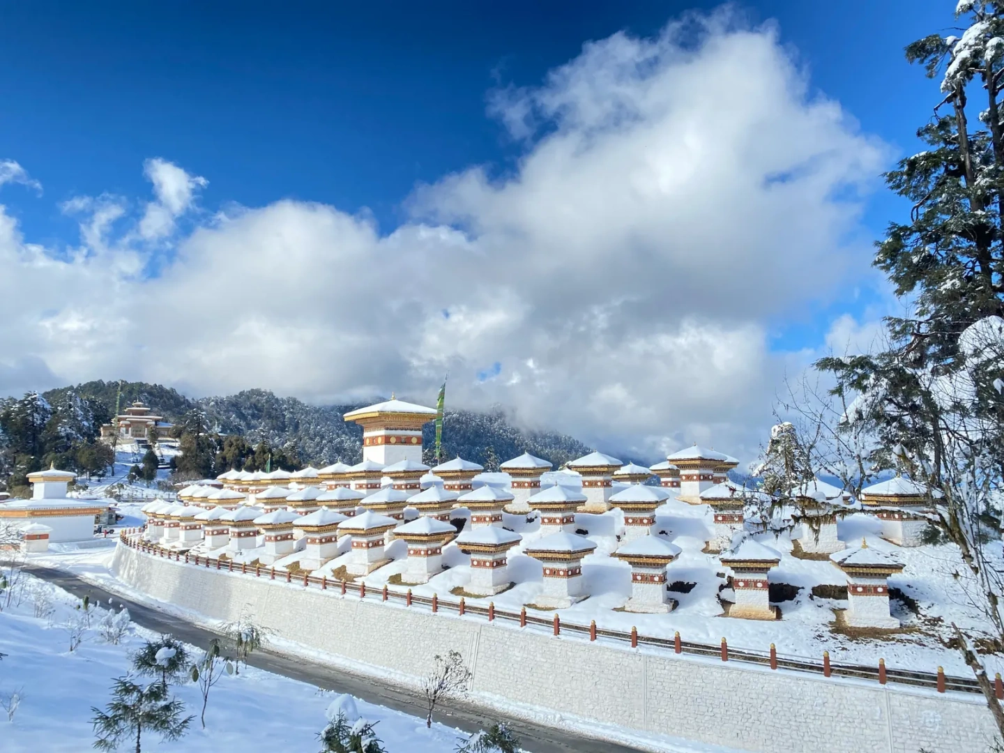
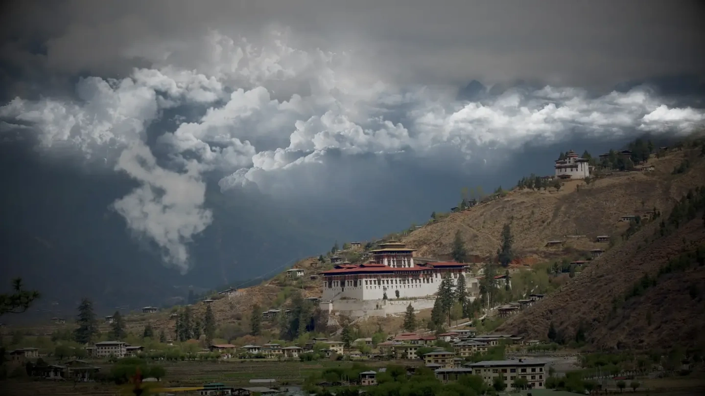
The inner valleys. Most Bhutanese live in the broad river valleys of the centre and west, roughly 1,200 to 3,000 metres high. Paro, Thimphu, Punakha, Wangdue, Trongsa and the four valleys of Bumthang lie here, separated by high passes such as Dochula and Pele La.
The southern foothills. In the south the mountains drop steeply into dense subtropical forest and a narrow strip of plains along the Indian border. Towns such as Phuentsholing, Gelephu and Samdrup Jongkhar are Bhutan’s gateways for road travel and trade.
Bhutan’s rivers, called chhu, run from the glaciers in the north through deep gorges to the south and on into the Brahmaputra in India. The main systems include the Amo Chhu, the Wang Chhu that flows through Thimphu, the Puna Tsang Chhu formed where the Pho Chhu and Mo Chhu meet beside Punakha Dzong, the Mangde Chhu, and the Kuri Chhu and Drangme Chhu of the east. Their steep fall is the source of the hydropower that drives the economy.
Because the land rises so quickly, forest types change every few hundred metres: tropical and subtropical broadleaf forest in the south, oak, rhododendron and blue pine in the middle hills, and fir, juniper and dwarf rhododendron near the tree line. Bhutan is part of one of the world’s recognised biodiversity hotspots.
The kingdom is home to the Bengal tiger, which has been recorded here at unusually high altitudes, as well as the snow leopard, red panda, Himalayan black bear and golden langur, a monkey found only in Bhutan and a small area of neighbouring India. The takin, the national animal, grazes the high forests. More than 700 bird species have been recorded, including the black-necked crane, which spends the winter in the Phobjikha and Bumdeling valleys.
Bhutan’s network of parks includes Jigme Dorji National Park in the north-west, Royal Manas National Park on the southern border, Jigme Singye Wangchuck National Park in the centre, Wangchuck Centennial National Park, Phrumsengla National Park and the Sakteng and Bumdeling wildlife sanctuaries in the east. Forest corridors link them so that animals can move from the plains to the high mountains.
Figures are rounded and drawn from official Bhutanese and international sources.